VolksNav in Liberland
Click or doubleClick a point on map to know the national or international area code of that point
Location codes like "LL m3:10 r66" consist of hours, minutes and radius according to following convention:
| StatusQuo Liberland | prefix of an area code | The urban pole is the main crossing (alternative: City Hall) |
| m12 | basic horizon hour |
from urban pole to north, m3 to east, m6 to south etc. |
| number after the " : " | horizon minutes | distance to the horizon hour, in steps of 10 m. Outside of LL: km steps |
| r... | radius |
distance to the urban pole, in steps of 10 m. Outside of LL: km steps, forming international LL codes LLint
download for Google Earth LL_r100.KML Radius maximus: within LL: about r270 = 2.7 km (south point) international LL: r20.000 [km] |
This interactive map converts lat/lon to StatusQuo on a simplified mode. For a professional conversion, see VolksNav.de/mapplet
--------
The division of the horizon into 12 directions can also be used global or indoor.

|
A circle with radius r100 = 10 x 10m = 1km helps to form easy understandable location codes, for example: - Entry point, LL m11 r180 - Check point LL m11 r140 Remark: these locations are outside of this map, nevertheless it is possible to imagine where they should be! - Airport, LL m6:38 r147 |
Outside of territory, it is possible to define International LL kilometrical codes!
Examples:Liberbase, LLint m10 r5.8
Berlin, LLint m11:6 r859.7
ARK villages, LLint m4:5 r11 , with ingate addressing

--------------------------------
Alternatively to the interactive click converter, download free Windows LLint converter
- https://volksnav.de/converterLLint.exe
or in case your system blocks exe files:- https://volksnav.de/converterLLint.txt
and rename to .exe
default value: LL Belgrade office
------------
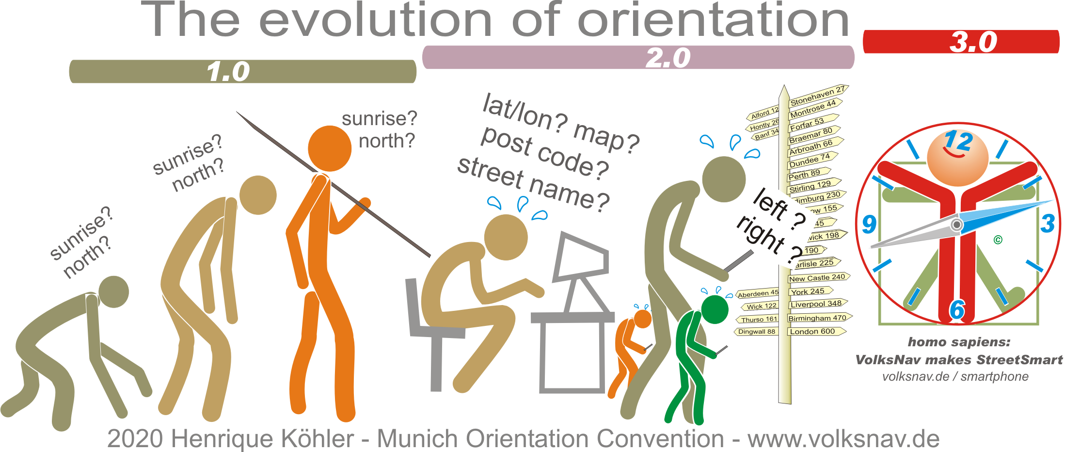
Evolution