VolksNav in Macon-Bibb
Click or doubleClick a point on map to know the urban or the Rose Hill area code of that point
Area codes consist of hours, minutes and radius according to following convention:
| element | meaning | details |
|---|---|---|
| StatusQuo Macon-Bibb | prefix of an urban position code | The urban pole is the Fort Hawkins |
| m12 | reference horizon hour |
from urban pole to north, m3 to sunrise, m6 to south etc. |
| number after ":", e.g. m12:5 | horizon minutes, blue lines |
distance to horizon hour,
|
r..., e. g. r66 |
radius, red lines |
distance to urban pole, 1 unity = 100m |
This map converts lat/lon to StatusQuo on a simplified mode. For a professional conversion, see volksnav.de/mapplet
--------
The division of the horizon into 12 directions can also be used global or indoor.
Example Rose Hill, MaconBibb m8:8 r20 , adressing of graves, crossings, sculptures etc. incl. Oak Ridge integration.
 1 unity = 1 meter
Example: Little Martha, Rose Hill m11:80 r270
------------
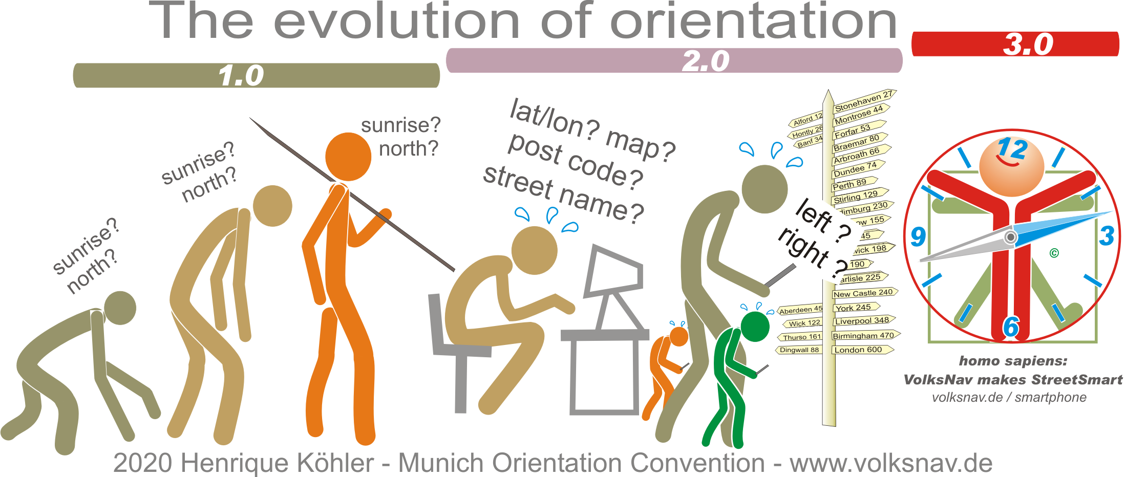
Evolution