VolksNav in Maseru
Click or doubleClick a point on map to know the logical area code of that point
Area codes consist of hours, minutes and radius according to following convention:
| element | meaning | details |
|---|---|---|
| StatusQuo Maseru | prefix of an urban position code | The urban pole is the Cathedral circle |
| m12 | reference horizon hour |
from urban pole to north, m3 to sunrise, m6 to south etc. |
| number after ":", e.g. m12:5 | horizon minutes, blue lines |
distance to horizon hour,
|
r..., e. g. r66 |
radius, red lines |
distance to urban pole, 1 unity = 100m for Google Earth download Maseru_r100.KML |
This map converts lat/lon to StatusQuo on a simplified mode. For a professional conversion, see VolksNav.com/mapplet
--------
The map also shows a circle with 100 km radius around the Senqunyane bridge, close to Marakabel.--------
Even if you only see a part of the Maseru map, the bended line immediatly let discover the direction of downtown.
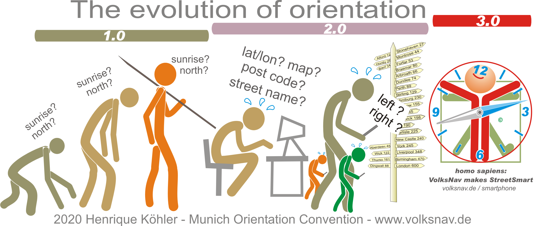
The division of the horizon into 12 directions can also be used global or indoor.
Pioneer Mall, Maseru m9 r15
 1 unity = 1 meter
Lesotho Mall, Maseru m6:10 r24
 1 unity = 1 meter
------------
Evolution