VolksNav in Roma
Click or doubleClick a point on map to know the logical indoor or area code of that point
Area codes "Museo Enrico Fermi Roma m1:4 r9" consist of hours, minutes and radius according to following convention:
| element | meaning | details |
|---|---|---|
| StatusQuo Roma | prefix of an urban position code | The urban pole is the Umbilicus Urbis |
| m12 | reference horizon hour |
from urban pole to north, m3 to sunrise, m6 to south etc. |
| number after ":", e.g. m12:5 | horizon minutes, blue lines |
distance to horizon hour,
|
r..., e. g. r66 |
radius, red lines |
distance to urban pole, 1 unity = 100m download Roma_r100.KML for Google Earth |
This map converts lat/lon to StatusQuo on a simplified mode. For a professional conversion, see VolksNav.de/mapplet
--------
The division of the horizon into 12 directions can also be used global or indoor.
Example: Vaticano, Roma m9:12 r28 , addressing of buildings, crossings, exhibitions etc.
 1 unity = 10 meter
------------------
Codes for stop points and lines, line pictograms
Imaginary clock also allow to define codes and pictograms, example Line A:
| line | m4 to m9 | m9 to m4 |
 say "line 4 to 9" or "line nine four"
| name | time/space minutes | radius |
|---|---|---|
| Battistini | m9:15 | r60 |
| Cornelia | m9:8 | r49 |
| Baldo degli Ubaldi | m9:7 | r43 |
| Valle Aurelia | m9:10 | r40 |
| Cipro | m10 | r35 |
| Ottaviano | m10:5 | r29 |
| Flaminio | m11:5 | r23 |
| ------------------ E / W transition | ||
| Spagna | m12 | r16 |
| Barberini | m12:3 | r13 |
| Repubblica | m1:3 | r14 |
| Termini | m1:6 | r16 |
| Vittorio Emanuele | m2:6 | r16 |
| ------------------- N / S transition | ||
| Manzoni | m3:2 | r19 |
| San Giovanne | m3:8 | r22 |
| Re di Roma | m3:12 | r27 |
| Ponte Lungo | m4 | r33 |
| Furio Camillo | m4:1 | r38 |
| Colli Albani | m4:4 | r45 |
| Arco di Travertino | m4:10 | r53 |
| Porta Furba | m4:1 | r62 |
| Numidio Quadrato | m4:1 | r66 |
| Lucio Sestio | m4:2 | r70 |
| Giulio Agricola | m4:2 | r76 |
| Subaugusta | m4:3 | r81 |
| Cinecittà | m4:4 | r89 |
| Anagnina | m4:7 | r101 |
------------
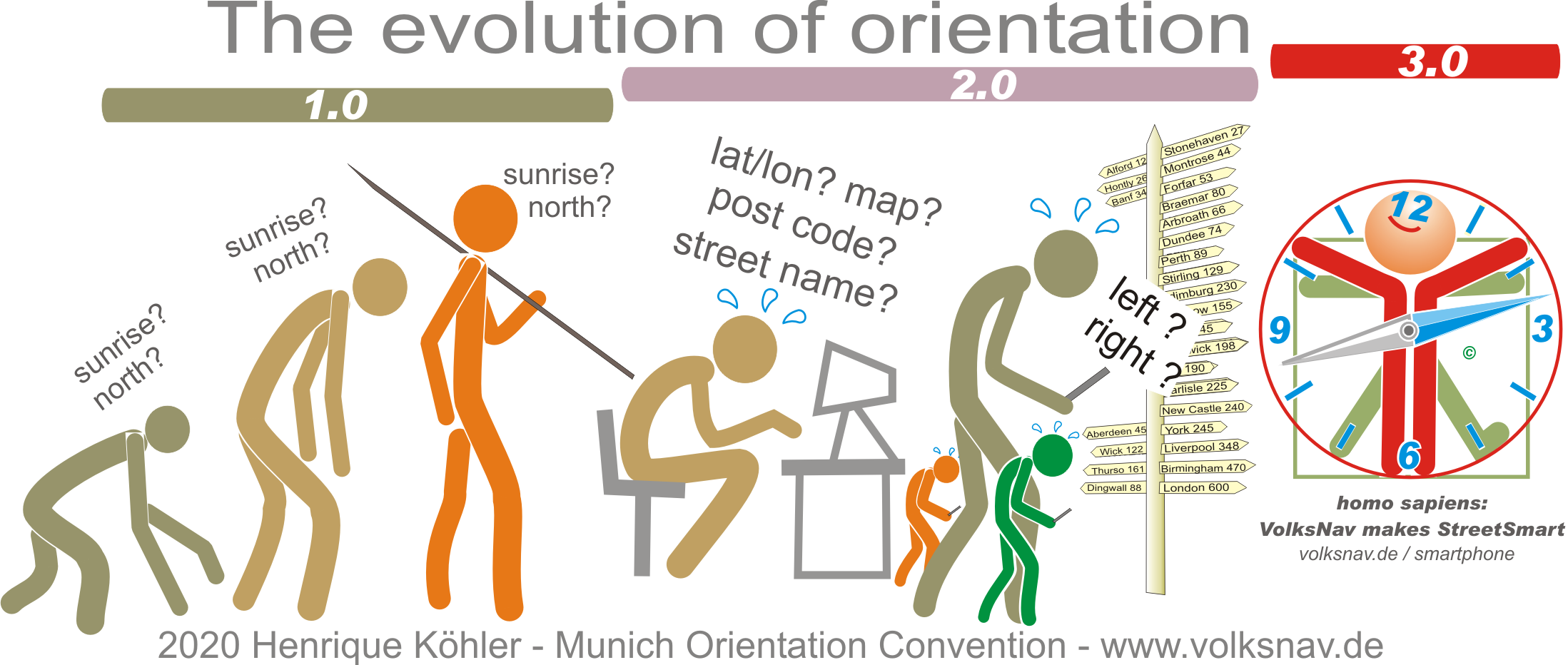
Evolution