VolksNav in Yaounde
Click or doubleClick a point on map to know the logical indoor or area code of that point
Area codes like "Hotel de Ville, YDE m11:3 r15" consist of hours, minutes and radius according to following convention:
| element | meaning | details |
|---|---|---|
| StatusQuo Yaounde | prefix of an urban position code | The urban pole is the Place Ahmadou Ahidjo |
| m12 | reference horizon hour |
from urban pole to north, m3 to sunrise, m6 to south etc. |
| number after ":", e.g. m12:5 | horizon minutes, blue lines |
distance to horizon hour,
|
r..., e. g. r66 |
radius, red lines |
distance to urban pole, 1 unity = 100m for Google Earth, download Yaounde_r100.KML |
This map converts lat/lon to StatusQuo on a simplified mode. For a professional conversion, see VolksNav.de/mapplet
--------
The division of the horizon into 12 directions can also be used global or indoor.
Example City Hall, Yaounde m11:3 r15 1 unity = 1 meter
----------
House number signs,
example Centre Technique Foret Communale CTFC,
House number YDE m11:11 r37 m3 r120 (short: house number 120)
Sign on the wall:
|
Legend: - bases on crossing YDE m11:11 r37 (37 x 100m in direction m11 from Poste Centrale) - position: 120 m from this reference crossing in direction m3/sunrise - 120 = pair = earlier side of the street - crossing is left hand, in this direction the house numbers will decrease - north is on f1 (later than front direction f12) - City center r0 is on f6 / behind for your comparison: MCC's sign
|


--
The interactive map also shows markers of the bus stops of the line Olembé-Ahala. Clicking on them, their bus stop code will appear. According to the concept OmniBus, this line would be represented by the following pictograms:
 Lines m6 to m12 and m12 to m6
 Another design
Straight line representation:

Example of a signage on the stop point YDE m9:3 r26 at Rue de Melén (blue marker on map):
 |
Convention: f12 = in front of you
north = f9 (left hand) YDE r0 = f12 (ahead) |
------------
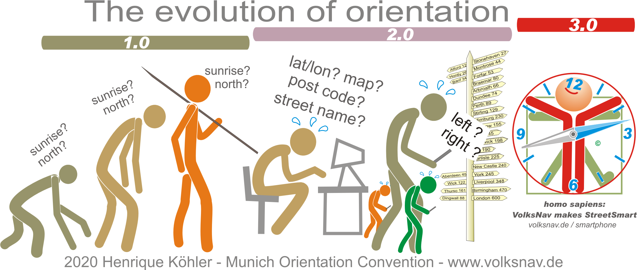
Evolution