VolksNav in USA: starting with urban radius r100
The definition of the radius r100 allows to build location codes which are smarter than post codes. They look like this example:
| StatusQuo City m4:7 r22 |
This target could be a building, a crossing, a stop point, a bridge etc. The conventions for this format with hours, minutes and radius are as follows:
StatusQuo |
prefix of a location code | Bases on a relevant point called r0, the urban pole. Example: the Hollywood sign in L. A. |
m12 |
basic horizon hour | This is the direction from urban pole to north. m3 will be to east, m6 to south etc. This method divides the city like a cake into 12 sectors. |
number after the " : " |
horizon minutes | distance to the horizon hour, in steps of 100 meters. |
r... |
radius |
This is the distance to the pole, in steps of 100m. The small red circles show "CityName r100" = 10km radius. |
For more datails, see Urban systems
Ames
/ Anchorage
/ Annapolis
/ Atlanta
/ Athens
/ Augusta
/ Austin
Baltimore
/ Baton Rouge
/ Bellingham
/ Boston
/ Bristol
Charlotte NC
/ Chattanooga
/ Chicago
/ Cincinnati
/ Colorado Springs
/ Columbia
/ Columbus
Dallas
/ Denver
/ des Moines
/ Durango CO
Fort Collins
/ Fort Lauderdale
/ Fort Worth
/ Fremont CA
Harrisburg
/ Hartford
/ Helena
/ Honolulu
/ Houston
Jackson
Kalamazoo
/ Kansas City
/ Knoxville
La Crosse
/ Lancaster
/ Lansing
/ Las Vegas
/ Lewistone
/ Lexington
/ Los Angeles
/ Louisville
/ Lubbock
Macon-Bibb
/ Madison
/ Memphis
/ Miami
/ Milwaukee
/ Montgomery
Nashville
/ NewHaven
/ New Orleans
/ Niagara Falls
/ New York
Oakland
/ Omaha
/ Orlando
/ Oshawa
Palo Alto
/ PennState
/ Philadelphia
/ Phoenix
/ Pittsburgh
/ Portland
/ Princeton
Rapid City
/ Redlands
/ Richmond
Saint Louis
/ Salt Lake City
/ San Antonio
/ San Francisco
/ Sacramento
/ San Bernadino
/ San Jose
/ San Rafael
/ Santa Barbara
/ Savannah GA
/ Seattle
/ Sugarland
/ Syracuse
Thunder Bay
/ Trenton
Waco
/ Washington D. C.
/ Wilmington
App VolksNav makes StreetSmartt - 500 cities incl. indoor Oktoberfest
--------------------
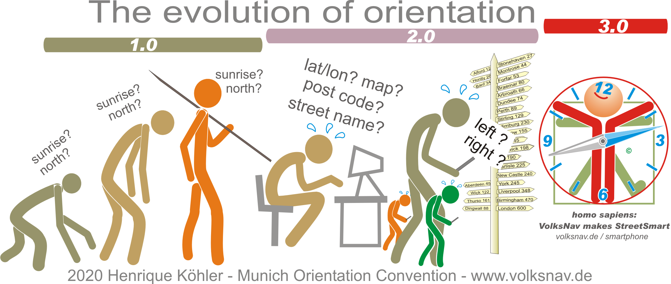
Evolution: